Click on image to enlarge
Great contributions were provided following release of version 1 of the Forrest & District Plan. Version 2 has now been completed to provide further opportunity for the local community to share their thoughts, contribute historical knowledge and make suggestions on current and future infrastructure projects. This Plan is a collaboration between Katrina Szetey from Deakin University’s The Local SDGs Program, the Forrest and District Community Group, Colac Otway Shire and The Department of Environment, Land, Water and Planning (DELWP).
Version 2 can be accessed in the above link. Comments,
input as well as a survey can be performed up to July 15.

The Plan is a result of community and stakeholder consultations from 2015-20 with the aim of synthesising results to develop a holistic plan incorporating the community’s vision for the future. Assessments and engagements for the Forrest communities have included: Community Infrastructure; Forrest Common; Forrest wastewater investigation; Tourism Parking and Traffic strategies; Forrest Mountain Bike Revitalisation; Education services; Neighbourhood House services; Tourism and economic strategies as part of the Colac Otway Shire.

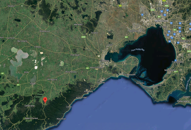
Forrest is a small rural township in the Otway Ranges (the Otways), Victoria, Australia. It is surrounded by the smaller hamlets of Barwon Downs, Gerangamete and Barramunga. This collective region is known as Forrest and District. At the 2016 census, Forrest had a population of 230. The population of Forrest and District is 473 people.


